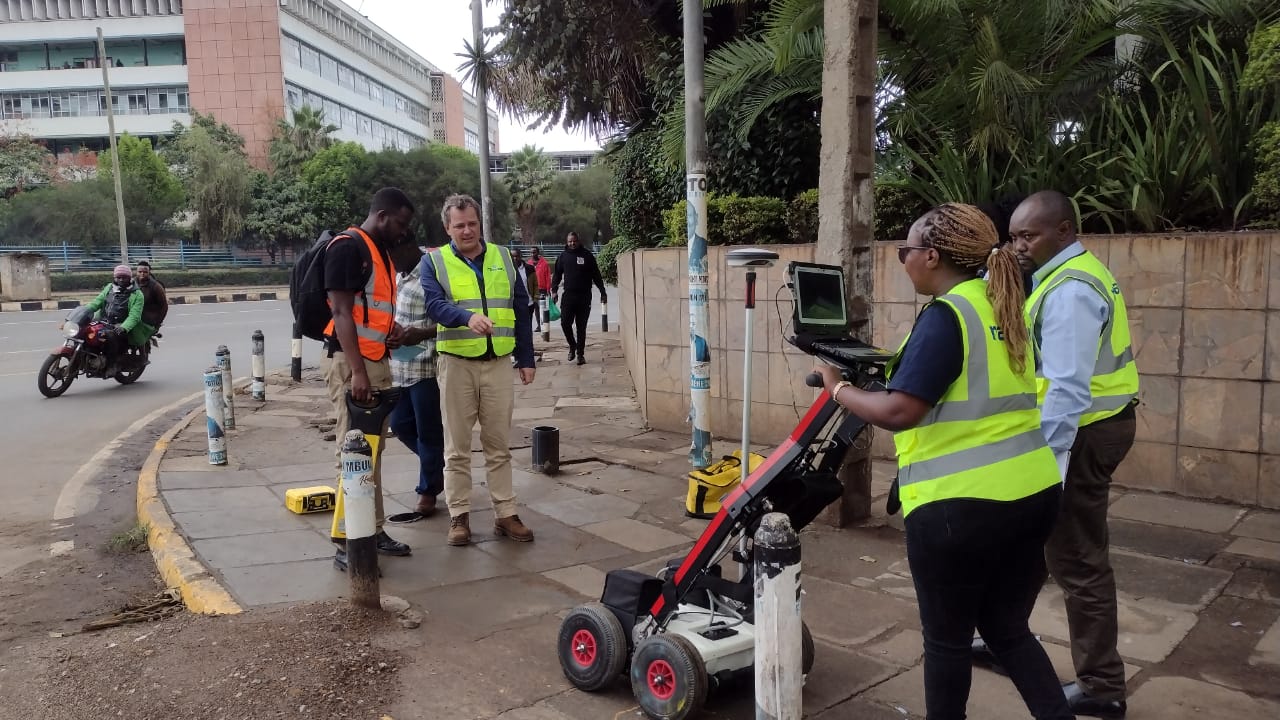
Underground Survey
Our Team of Experts using our Ground Penetrating Radar(GPR) Machine

Our Team of Experts using our Ground Penetrating Radar(GPR) Machine
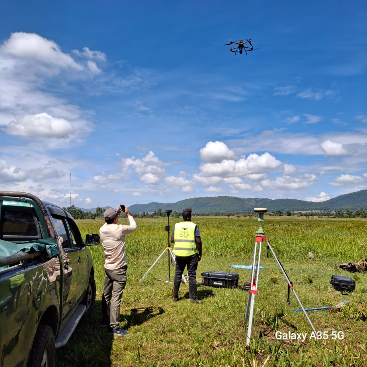
A drone Survey taking place in Tanzania.
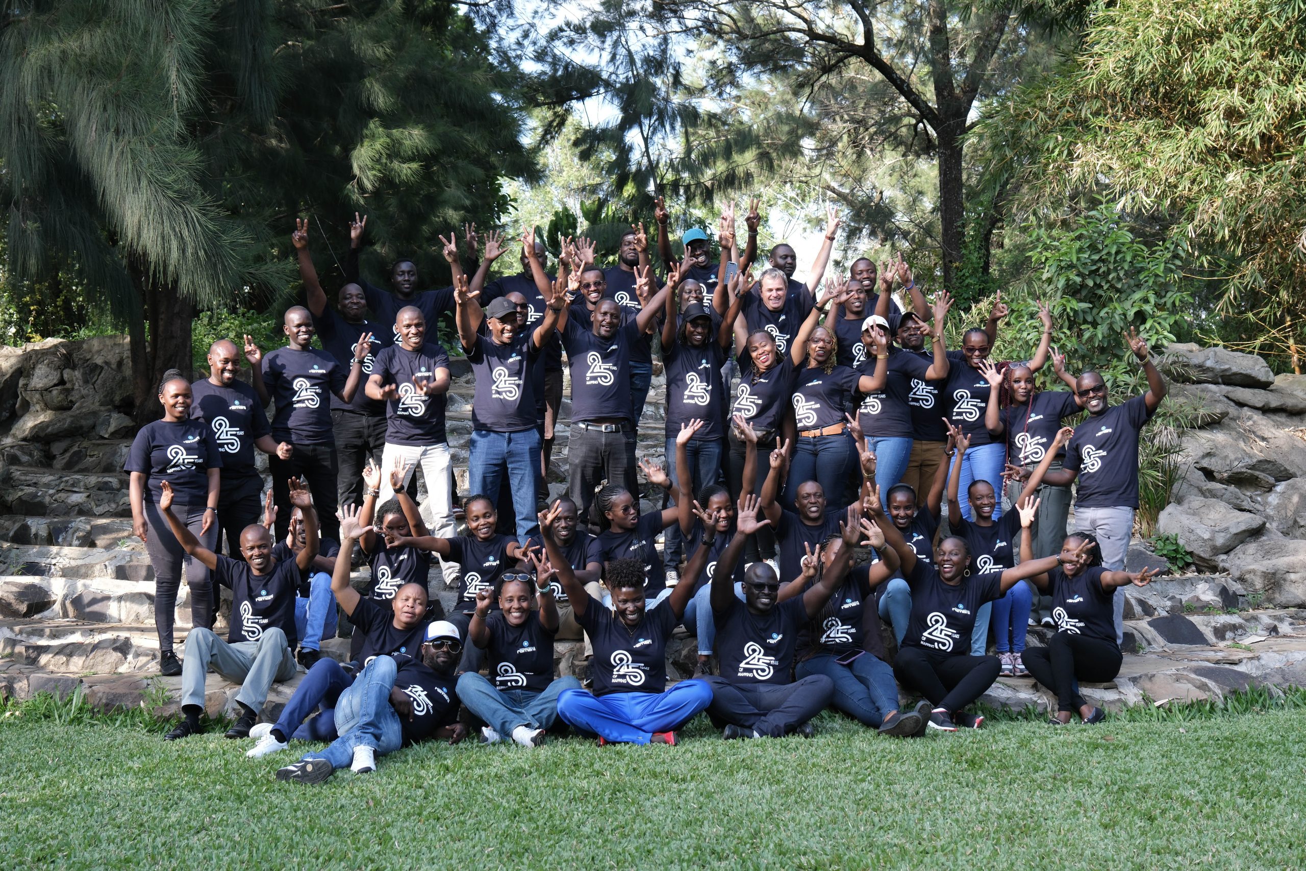
A group of Ramani Surveyors in action.
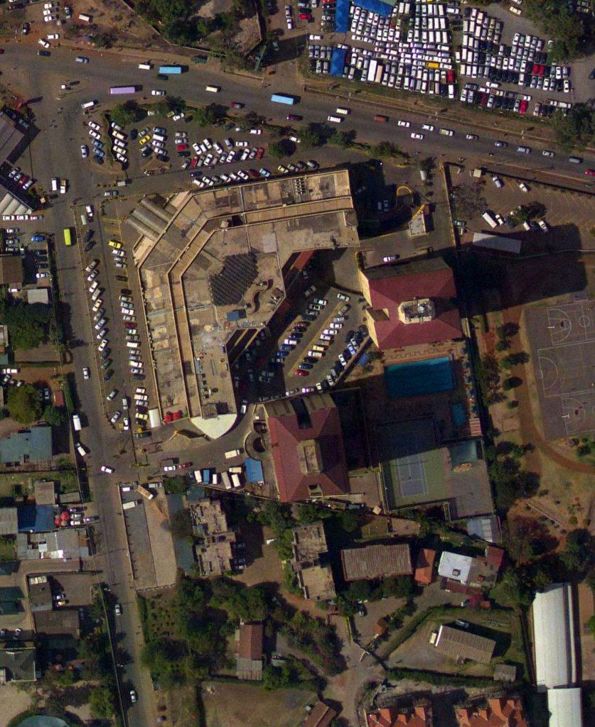
A very high resolution Aerial Imagery taken in Nairobi CBD.
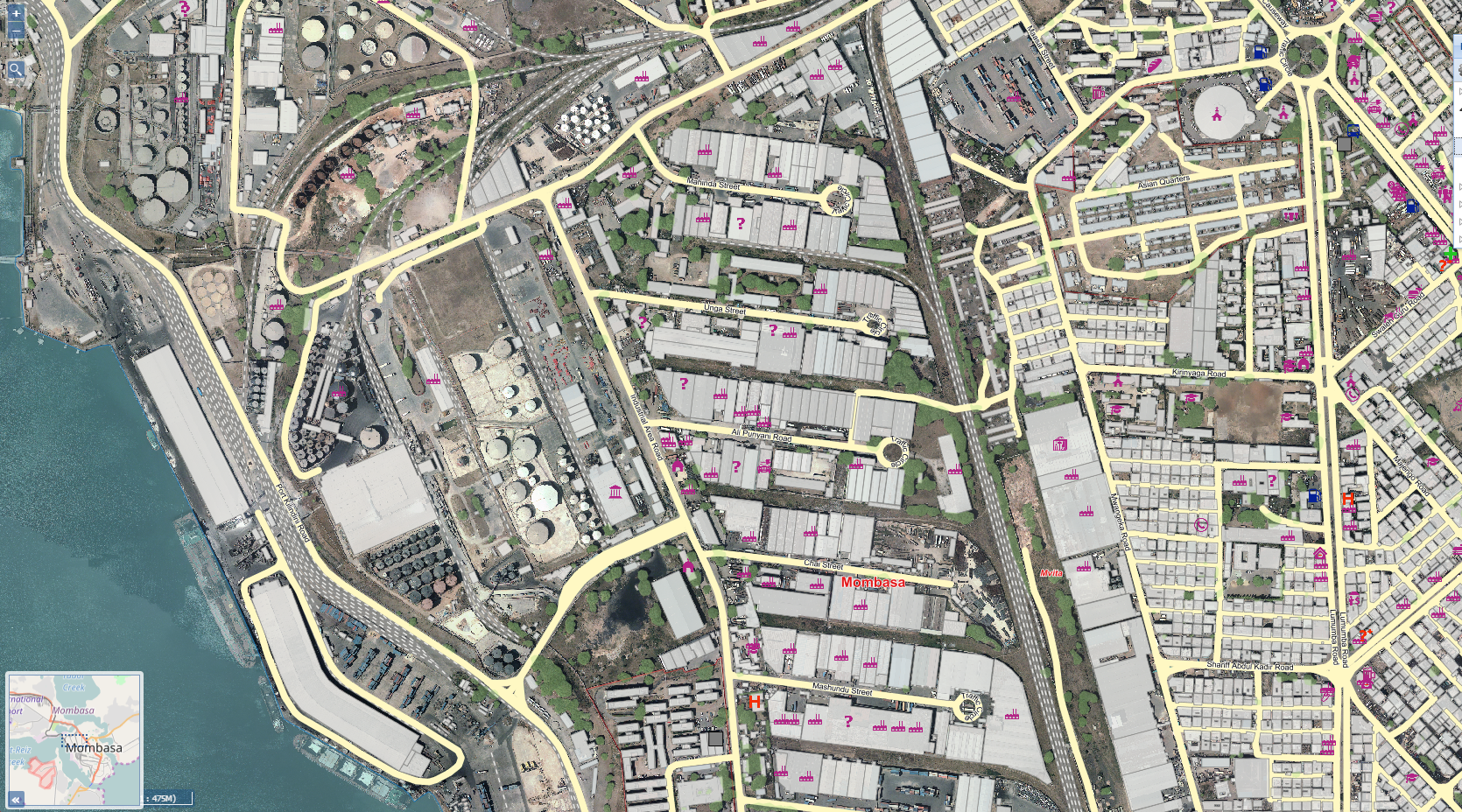
An digitized aerial image showing labelled roads , buildings and other features of a Port in Kenya.
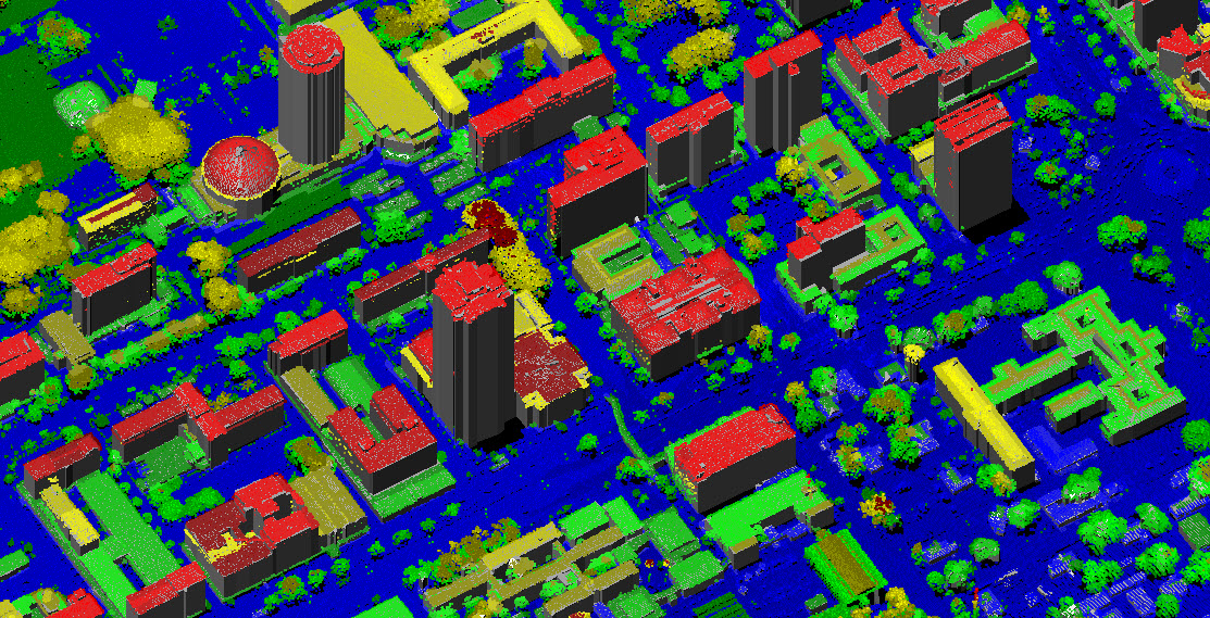
A 3D Model of Nairobi CBD created by Cloud Points.