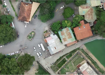
The survey and topographical mapping were conducted to help Kenchic Limited assess the topography of approximately 150 acres for property development using drone LiDAR and imagery surveys
BENEFITS
The project products would assist in engineering works related to property development through detailed DTM and aerial and LiDAR imagery, topographical mapping and vectorization of features.
RESULTS/OUTCOMES:
The project deliverables supported engineering works for property development by providing detailed Digital Terrain Models (DTM), aerial and LiDAR imagery, topographical mapping, and feature vectorization.