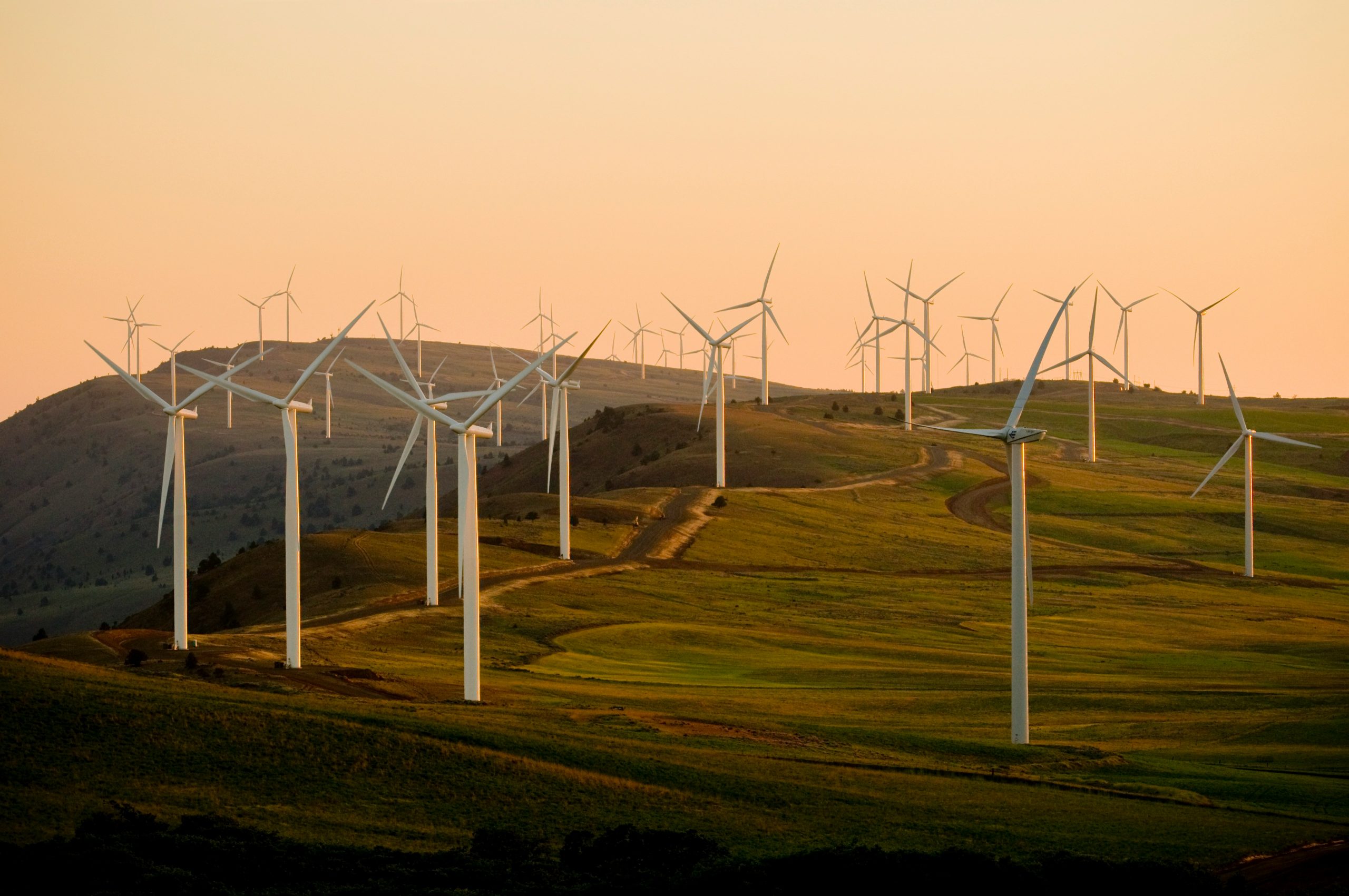
With growing interest in renewable energy sources, Ramani has been part of these initiatives
supporting feasibility studies, exploration, design and construction activities for various player in the
industry.
PROPERTY AND DEVELOPMENT
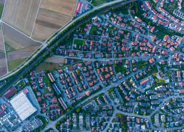
Ramani has extensive experience in providing geospatial solutions tailored for property development
and architectural projects.
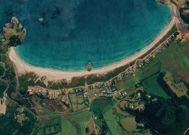
CONSERVATION AND TOURISM
Conservancies benefit significantly from Ramani's aerial surveys, which offer a precise and
comprehensive method for capturing land data.
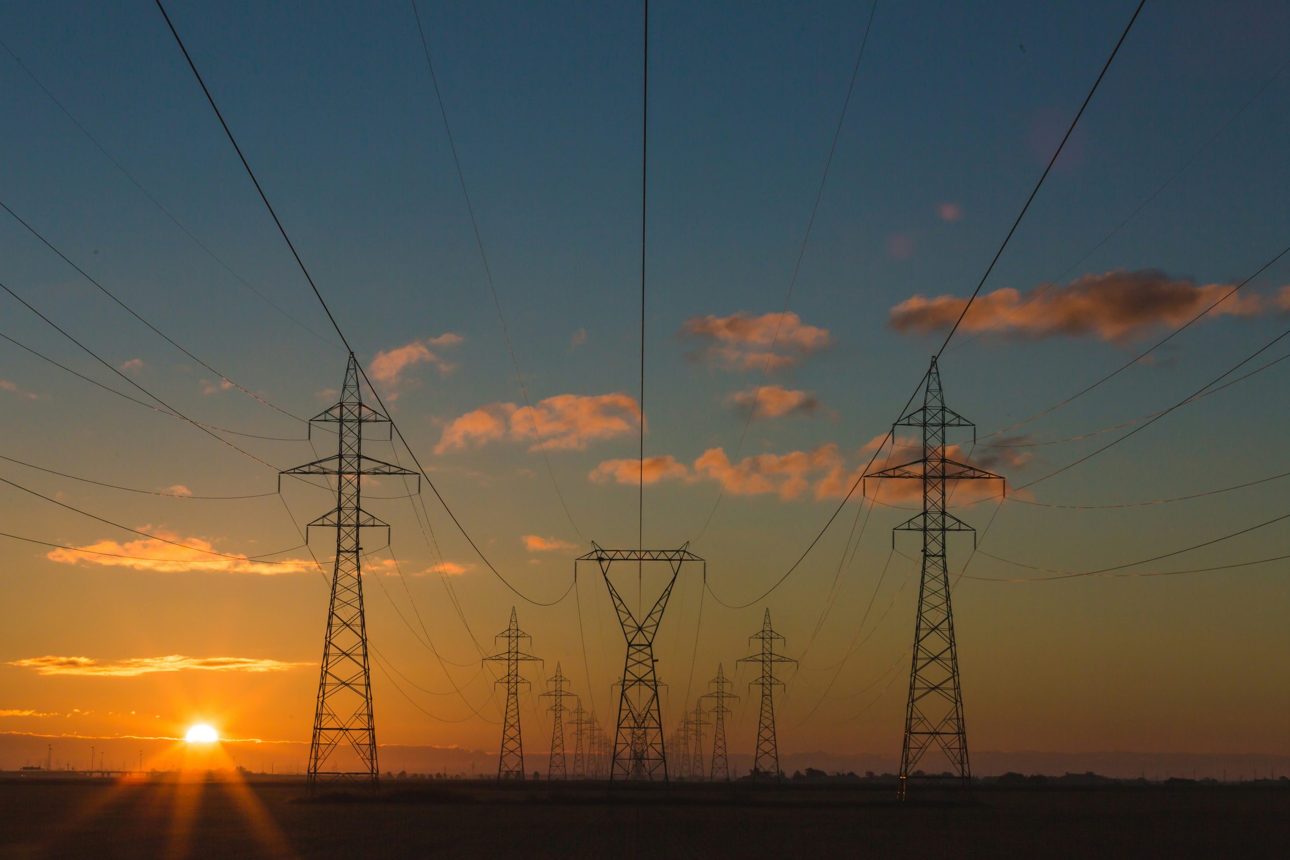
POWERLINES AND POWER DISTRIBUTION
In powerline design, the surveys include aerial LiDAR survey at high point density (6-10 points/m2)
coupled with very high resolution (5cm) images and specialised LiDAR formats (PLSCADD).Ramani has unrivalled experience undertaking these kinds of surveys across the region.
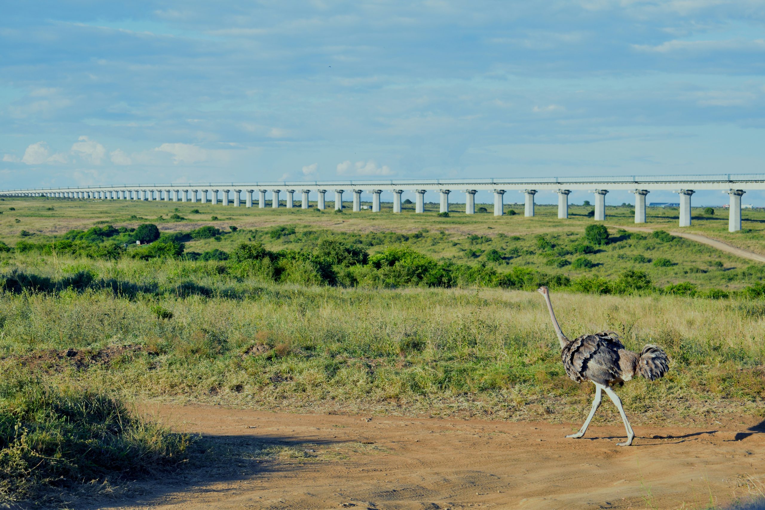
RAILWAY INFRASTRUCTURE
In the Rail sector, Ramani has undertaken
detailed mainly for feasibility studies and
engineering design.
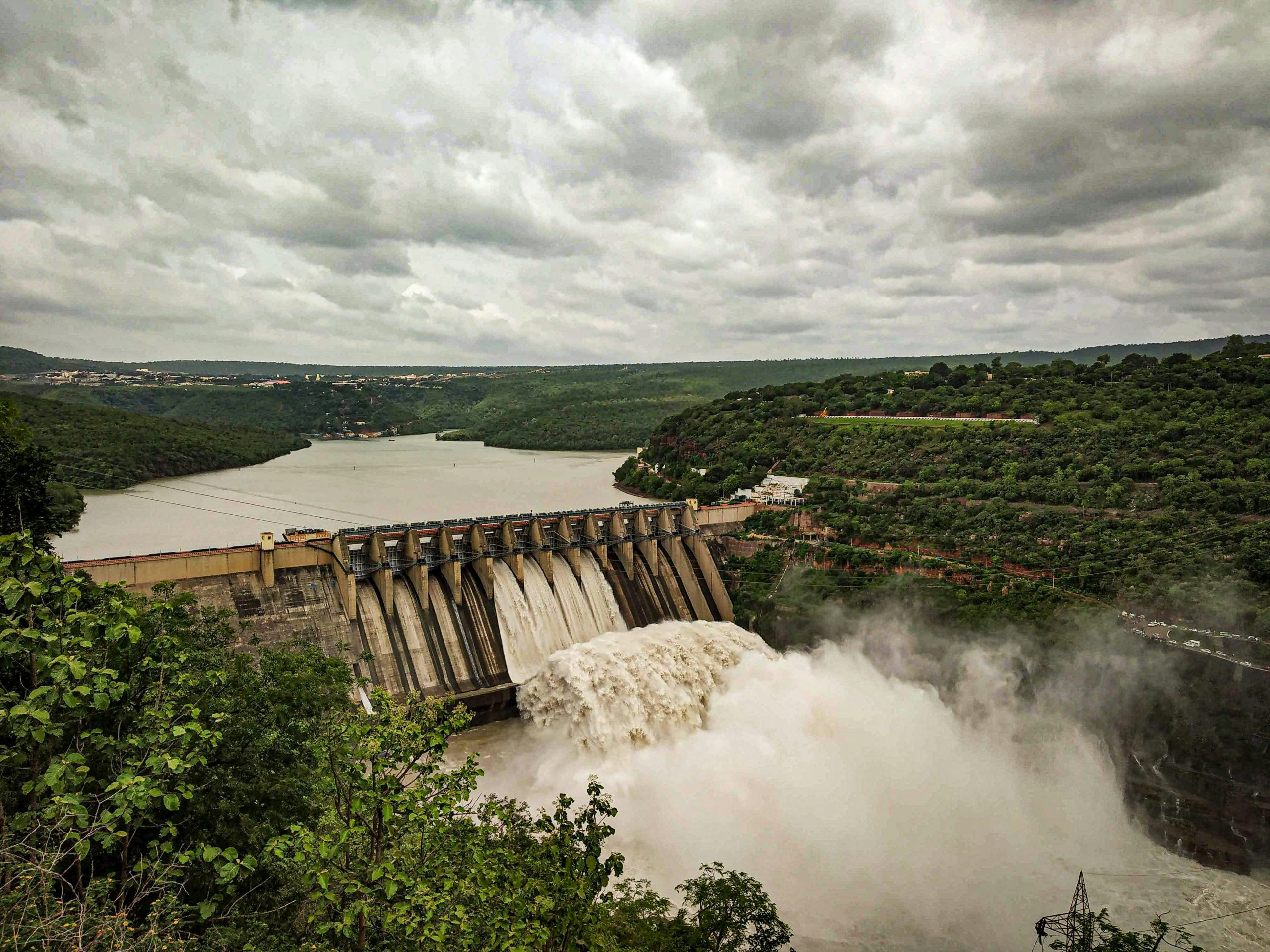
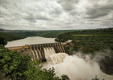
DAMS AND IRRIGATION
In this sector, Ramani’s services have included land and aerial surveys to provide very high accuracy
topographic mapping to enable capacity studies, engineering design and actual construction of the
dams as well as the associated irrigation infrastructure.
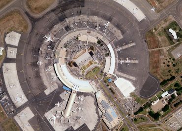
AIRPORTS AND NAVIGATION
Our services in this area are focussed on developing Electronic Terrain and Obstacle Data (ETOD), a
specialised data format to support the use and regulation of airspaces.
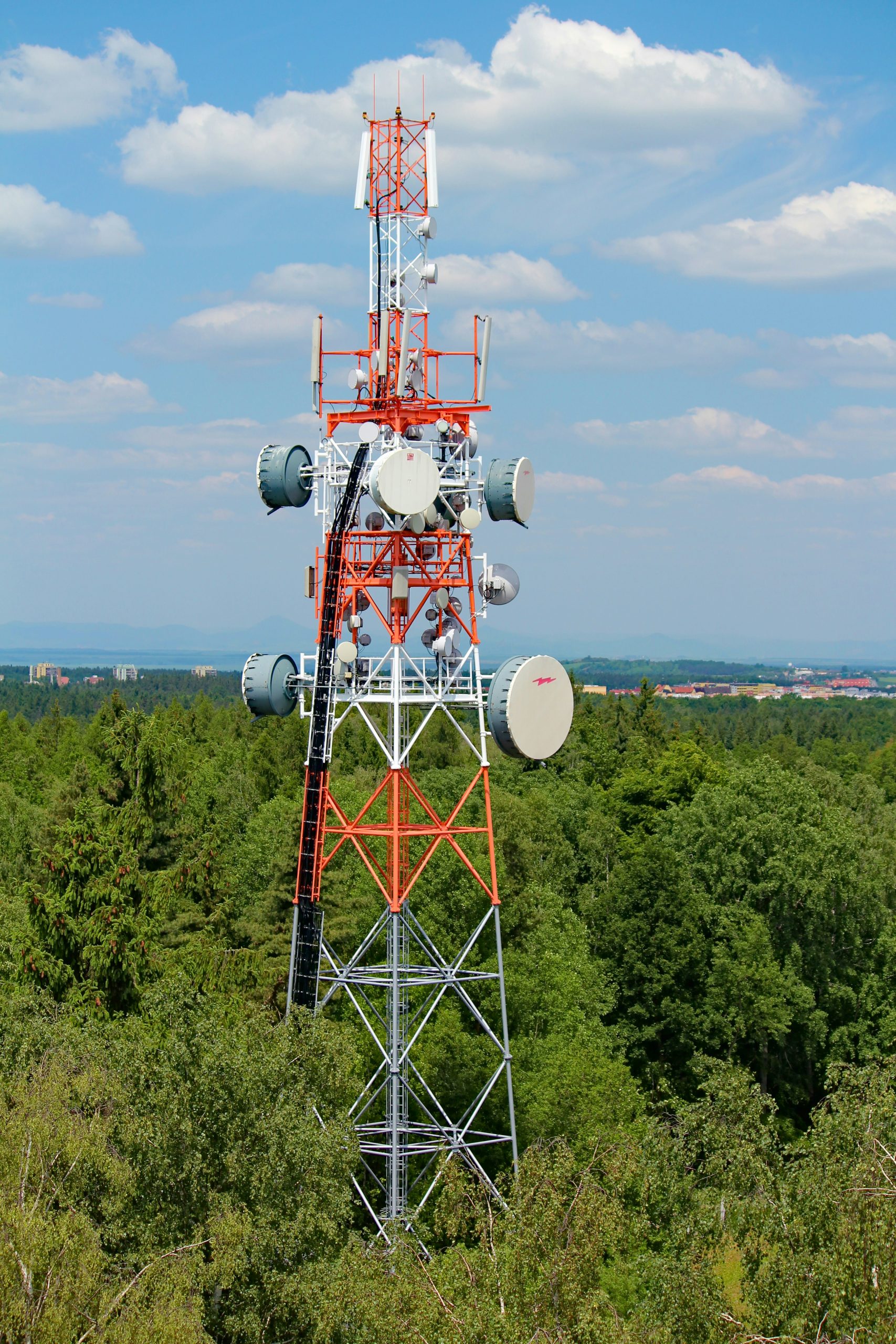
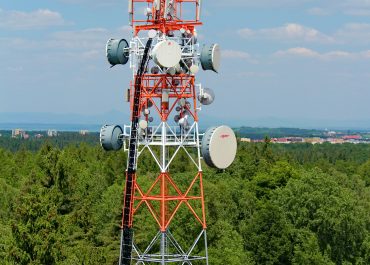
TELECOMMUNICATION
Ramani has mastered the
development of these products required in the telecommunication sector and has been instrumental
in the delivery of the same for Kenya’s leading provider, Safaricom Limited.
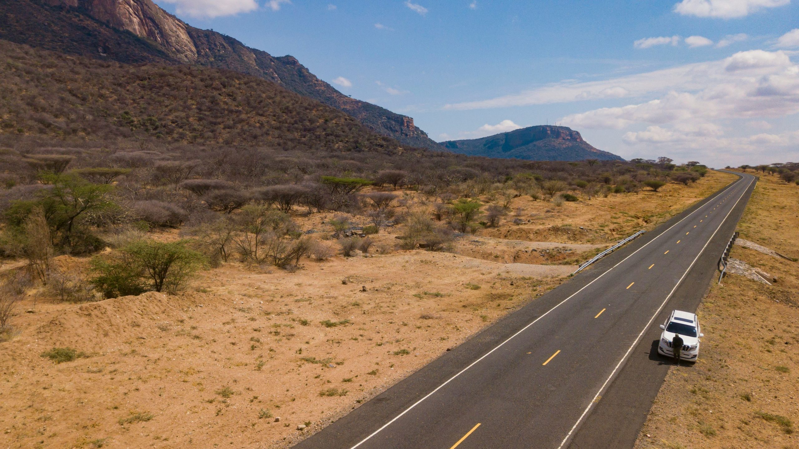
ROADS AND NAVIGATION
Ramani’s experience covers survey of road infrastructure such as bridges and culverts, street furniture,
urban and rural roads as well as national highways and expressways