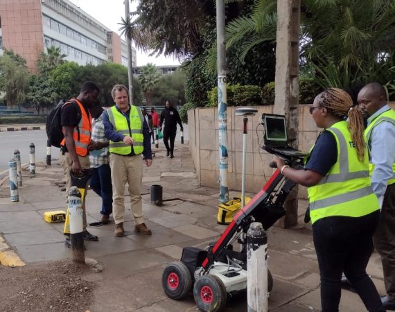
Ramani Land Survey is a recognized leader in the field of land survey solutions offering exceptional services to land developers, farmers, engineering contractors, property owners, legal and financial representatives, public utilities, and real estate developers, among others.
Services:
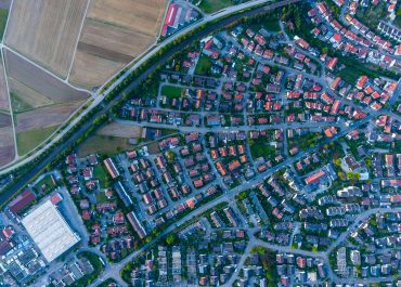
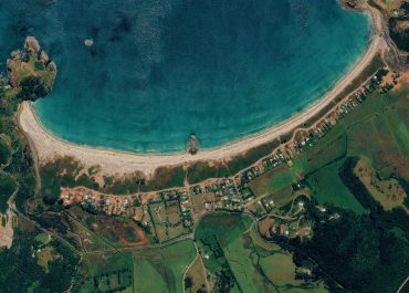
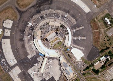
- Topographical Surveys
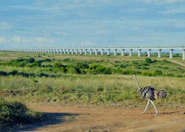
- Engineering Survey
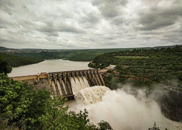
- Bathymetric Survey
- Cadastral Survey
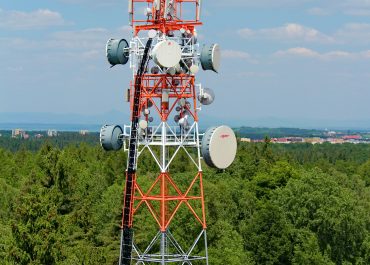
- Control Survey
| - Due Diligence Survey
- Ground Penetrating Radar Survey
- Field Mapping
- Terrestrial Laser Scanning
|
We meet this broad spectrum of surveying and engineering needs by offering high-quality work within reliable turnaround timelines, and in unparalleled professionalism.