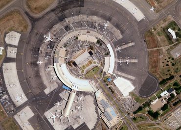
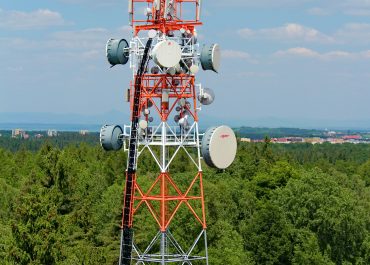
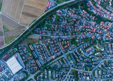
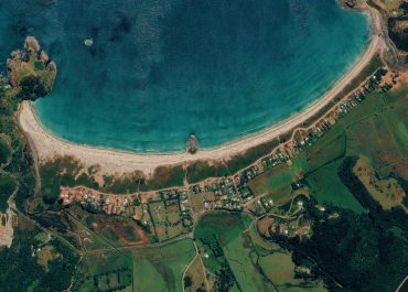
GIS Solutions and Mapping

Customized GIS solutions, consultancy and implementation is offered together with a range of satellite and aerial imagery, LiDAR data from Ramani’s intellectual property library, and related vector products.

Aerial & Lidar Photography Projects

ENERGY SECTOR

PROPERTY DEVELOPMENT & ARCHITECTURE

TOURISM & CONSERVATION

POWER LINES AND POWER DISTRIBUTION

.

RAILWAY INFRASTRUCTURE

DAMS AND IRRIGATION

AIRPORTS AND NAVIGATION

TELECOMMUNICATION

ROADS AND HIGHWAYS

🚀 Check out our latest software solution