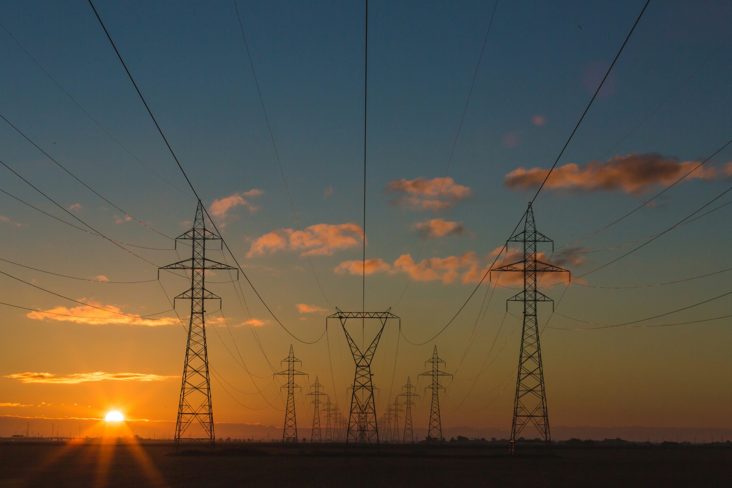
Aerial LiDAR and photographic survey for 400KV Lake Turkana – Suswa Substation project (428 km)
PURPOSE
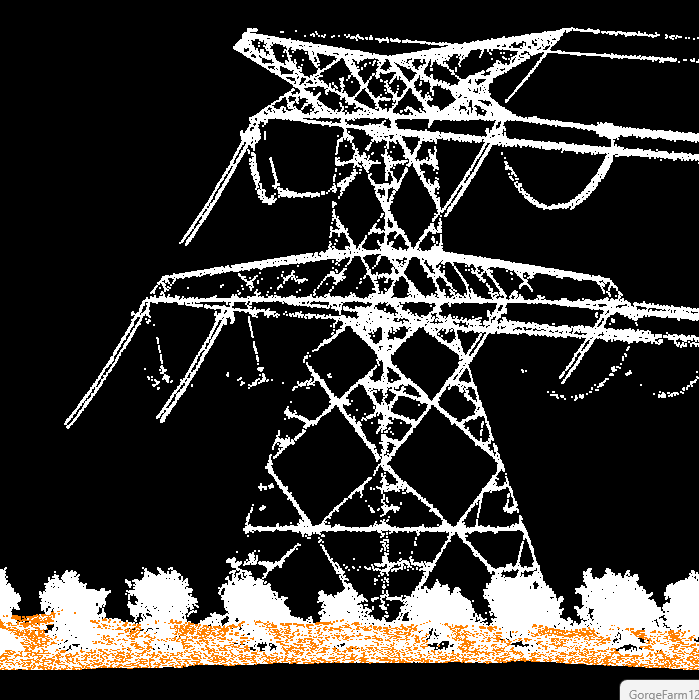
The survey was conducted to help our client to Provide our client with high resolution imagery at 15cm, DTM (LiDAR point cloud) in PLS CAD format and DXF feature data and attributes from field mapping for design and planning.
BENEFITS
In powerline design, the surveys include aerial LiDAR survey at high point density coupled with very high resolution (5cm) images and specialised LiDAR formats. Ramani has unrivalled experience undertaking these kinds of surveys across the region. At the construction stage, this has additionally included walking the route and setting out the angle points, actual location for the pylons, transformers and other infrastructure. Maintenance and rehabilitation surveys have been undertaken to take stock of the type, quality and condition of the power distribution infrastructure.
RESULTS/OUTCOMES:
The project deliverables supported engineering works by;
Providing high resolution imagery at 15cm
Providing DTM (LiDAR point cloud) in PLS CAD format
Providing DXF feature data and attributes from field mapping