

Daniel Haywood
Managing Director/Founder

Helen Wawira
General Manager Operations

Nancy Kirior
Business Development Lead

Emma Njeri
Aviation Lead

Carol Njoroge
Human Resource

Erick Ngetich
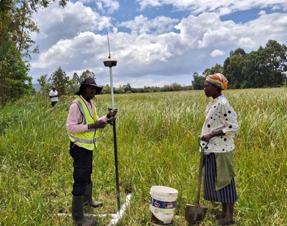
Land Survey Lead

Who We Are
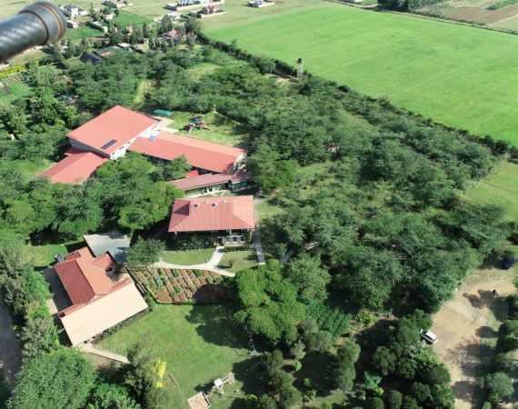
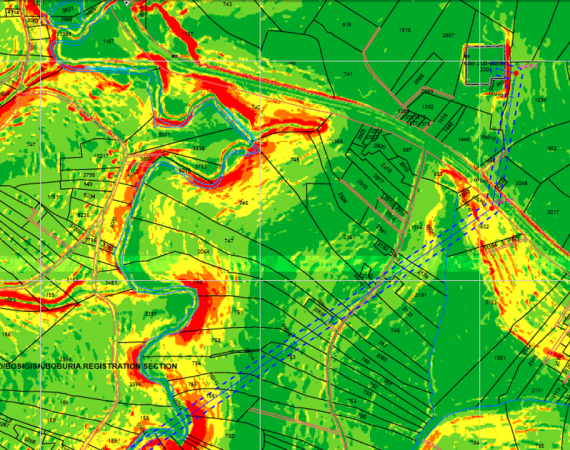
Ramani is a team of professionals working together to provide aerial survey, aerial LiDAR, land services and GIS mapping solutions through cutting edge technology in a robust environment.

Why We Do It
Ramani exists to put Africa on the map—empowering the continent with accurate geospatial data to drive informed decisions, sustainable development, and regional connectivity.

What We Do
Ramani delivers world-class geospatial solutions across Africa, combining advanced technology with skilled professionals to ensure accurate, efficient, and impactful results.